
Nassau County Neighbors by Block
Nassau County neighbors are best researched as nearby parcels with separate records, not as a presumed household list. One source can map the lots. Another can provide assessment or recorded-owner information. A third can describe public civic contacts. Each source answers a limited question, and the limits matter most on a dense block, a corner lot, or a street that crosses a village boundary.
| Source | What It Shows About a Block | Access |
|---|---|---|
| Nassau County GIS parcels and lots | Adjacent geometry, roads, boundaries, and historic overlays | Public map with identify and measurement tools |
| Nassau County assessment record | SBL, situs address, tax and class data, and available owner or mailing detail | Address or SBL search; cards and copies can have fees |
| County Clerk deed index | Recorded transfers, parties, dates, and legal descriptions | Name or legal-description search; images and copies may cost |
| Municipal permit or code file | Addressed work, inspection, or project history | Local portal or FOIL route, varying by municipality |
| Voter lookup | Individual registration match route, not a street roster | Name, DOB, county, ZIP, and address match under election rules |
| Civic directory | Public association contact and community context | Older public listings require direct verification |
Nassau County parcel information can identify the legal lot and recorded property relationship. It cannot establish every person who lives there. People not named in a recorded ownership entry, household members, utility customers, people receiving mail, and protected residents do not become public merely because a parcel sits next to another parcel.
Nassau County GIS Parcel Method
The Nassau County GIS Land Information Viewer is the block-level starting point. Its Search by Address route locates an address on the map. Turn on Parcels and Lots first, then add Roadway or Road Annotation and the City, Village, Unincorporated Area, or Place Boundary layers. The map supplies geometry and jurisdiction context, not a directory of Nassau County neighbors.
The Nassau County GIS viewer is the source for this adjacent-parcel map interface.
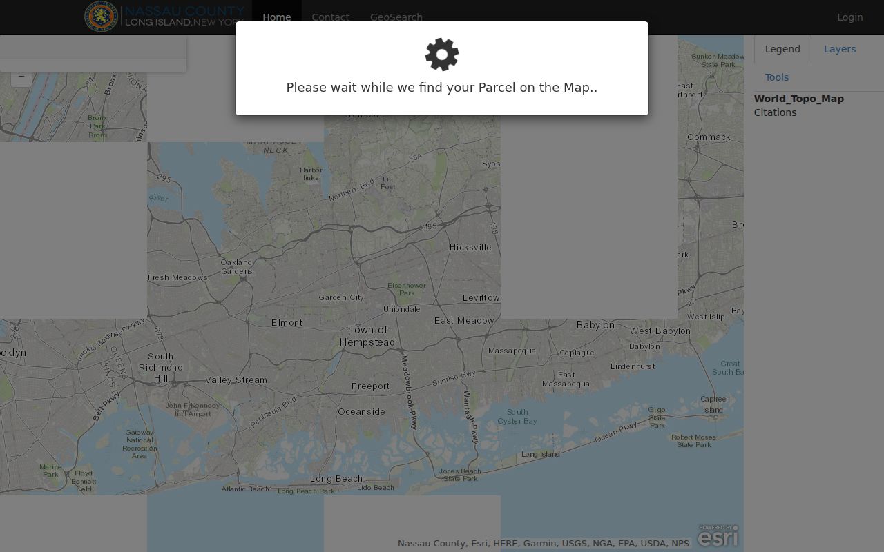
The viewer also offers aerial, topographic, FEMA, Nassau 1926, Nassau 1950, and selected New York aerial layers. Area, Distance, and Location tools can help define a short block segment, but the research found no confirmed control for selecting every parcel within a chosen radius.
For a map-aware technical check, the county also publishes GIS layer metadata for parcels, lots, roads, railroads, parks, and boundaries. Those layers are geographic data, not names or household information.
Nassau County Neighbor Parcel Flow
Use a repeatable Nassau County sequence for each adjoining parcel. The key is to preserve the map-to-record bridge rather than guessing from the label printed near a lot. A Section/Block/Lot, often shortened to SBL, is the identifier that connects the map to the assessment record and then to a deed’s legal description.
- Search the target street address in the GIS viewer and turn on Parcels, Lots, Road Annotation, and the relevant boundary layer.
- Visually identify the touching lots. Record each neighboring SBL and road-facing address label, including both streets for a corner lot.
- Open each SBL in the Nassau County Land Records Viewer to compare situs address, municipality, tax class, and available assessment detail.
- When recorded ownership must be checked, use the Nassau County Clerk Official Records search with the party and legal-description clues.
The flow is address to GIS parcel to SBL to assessment record to deed index. It keeps Nassau County neighbors in their correct parcel context and prevents a map label from being mistaken for a person’s name. For the full chain along a named road, use the Nassau County street directory.
Note: A corner parcel can carry a mailing community or road-facing label that differs from its legal lot description, so test both street names.
Nassau County Neighbor SBL Checks
The assessment viewer’s visible fields are Section, Block, Lot, House Number, Name of Street, Town, and ZIP. For an address search, the viewer asks users to omit directional prefixes, suffixes, and street suffixes from the street-name input. A CAPTCHA or account path can affect the search. Nassau County results can link to a parcel card, tax map, sales, exemptions, taxes, school district, and recent sale or liber-page context.
Nassau County provides the assessment search form used for this parcel check.
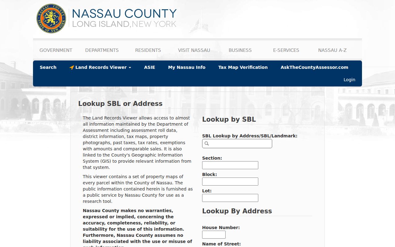
The owner mailing address and situs address must be read separately. The situs identifies the parcel. The mailing field shows where the assessment office sends correspondence. Neither field proves that all named people currently live at the property, and an owner may be a trust, corporation, or estate.
Nassau County Neighbor Civic Contacts
The community layer can help explain how Nassau County neighbors organize around a block without exposing member lists. Research located older public civic-directory listings for associations across the county. Their contact details and activity should be confirmed directly. They are public-contact leads, not proof of membership or a substitute for a property record.
| Community | Public civic layer located | Use with care |
|---|---|---|
| Albertson | Albertson Square Civic Association | Directory listing; confirm current contacts. |
| North Bellmore | North Bellmore Civic Association | Public contact listing, not a member roster. |
| Bethpage | North Side Civic Association of Bethpage | Verify current activity before relying on it. |
| Carle Place | Carle Place Civic Association | Civic-directory listing only. |
| Glen Cove | Landing Pride Civic Association | Public organization lead; no member directory found. |
| South Merrick | South Merrick Community Civic Association | Public contact or website lead. |
Massapequa, Garden City, Glenwood Landing and Glen Head, Searingtown, and Wantagh also had community listings in the research. For a public local-office route, begin with the Nassau County cities, towns, and villages list. It directs an address to the right town, city, or village rather than implying that a community association holds private resident data.
Nassau County Neighbor Boundaries
Nassau County has two cities, three towns, 64 incorporated villages, and many unincorporated communities. A short Nassau County block can meet a village edge or use a postal name that does not match the town that keeps its local permit file. The city, village, unincorporated-area, and place-boundary layers in GIS are therefore part of a careful neighbor check.
The Nassau County Village Officials Association represents the county’s 64 villages as a municipal umbrella, not a private resident network. Libraries, school districts, fire departments, faith communities, and civic groups may provide public meeting or contact information, but the research found no countywide public membership roster for block watches, congregations, veterans groups, or neighborhood groups.
Nassau County Neighbor Voter Limits
The New York State Voter Registration Eligibility Lookup is an individual match tool. It requires last name, first name, date of birth, county, ZIP, and address information. It is not a public Nassau County block roster, and a precinct or district layer is not a list of the people who voted there.
A voter-file request follows the state’s election FOIL process and must state an election purpose under Election Law §3-103(5). Confidential voter registration and the New York Address Confidentiality Program can withhold qualifying addresses. A missing result must never be used as a reason to try to reconstruct a protected location from parcel, family, court, or directory material.
Note: Individual voter matches, requested files, and aggregate data have different access rules and should never be treated as interchangeable block information.
Nassau County Neighbors Source Comparison
Official records and commercial neighbor tools serve different purposes. A map or assessment record can be checked against its custodian and legal parcel key. A commercial category of tool can combine address, marketing, directory, or purchased data, which can be wrong at apartment, condominium, same-name, and mailing-address boundaries. Neither category should be used to infer an entire household.
| Source type | Strength | Limit |
|---|---|---|
| Official GIS and assessment tools | Parcel geometry, SBL, situs, and custodian-backed property context | Owner-centered records are not a current household list. |
| Clerk index and plat records | Recorded transfer and legal-description history | A recorded party is not necessarily a present occupant. |
| Commercial neighbor category | May offer a starting address clue | Accuracy, source currency, and household matching can be weak. |
For Nassau County history, the Library of Congress Nassau criss-cross directory run from 1972 to 2007 can provide historical address-to-occupant entries. It is a library-era source, not evidence of present neighbors, and older local runs must be verified at a library or archive.
Nassau County Neighbors and Privacy
Several block details remain private in Nassau County. Public parcel and deed systems do not reveal all renters, household members, current utility or delivery customers, protected DMV addresses, sealed court or vital information, adoption information, or the actual address of an Address Confidentiality Program participant. These limits are not proof that a person is absent from the block.
The New York Address Confidentiality Program offers qualifying participants a substitute mailing address, and confidential voter procedures can protect voter addresses. Nassau County recorded-document filers are instructed not to include Social Security numbers or driver-license information. A possible omission or redaction should be respected, not worked around.
Lawful use. Nassau County neighbor research is for personal, lawful purposes such as understanding parcel context, reconnecting through public channels, or checking a local civic contact. Using records to watch, threaten, harass, or harm anyone is prohibited and can violate New York law.
Nassau County Neighbor File Requests
When a needed address file is not online, request the smallest useful Nassau County record from the proper custodian. Permits belong with the city, town, or village rather than a universal county search. North Hempstead’s permit review says prior-owner permit history requires a FOIL request and a records-room appointment. Nassau County’s Health Department realty and sewage form is another narrow address record that can use an SBL, street, community, and ZIP.
Use Nassau County’s records-request page and its FOIL fee guidance when the county is the custodian. State and local requests should identify the address, municipality, date range, record type, and SBL if known. That detail helps the office find an existing file without turning a block inquiry into an overbroad request.